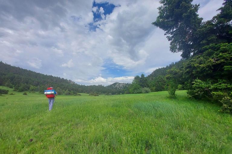



The trail is part of the international E6 path and is well-marked. However, access during the seasons when Arkoudorema carries a lot of water (November to May) is problematic or even impossible, as the path crosses the river several times. So before you set off, ask about the conditions. Unfortunately, the first section up to Smixomata, although it runs through a very scenic area and is part of an international trail, needs maintenance. Visitors are often encouraged to approach Smixomata via a dirt road on the opposite (western) bank of the Aoos River, where the descent to the river includes a risky crossing and requires caution.
GALLERY


Geo
- Country: Greece
- Region: West Macedonia, Hepirus
- Mountain:
Difficulties
- Terrain Difficulty: D3 - Difficult
- Overall Dificulty: L3- Difficult
Properties
- Distance : 13.6 km
- Maximum Altitude: 1408m.
- Minimum Altitude: 984m.
- Ascent: 655m.
- Descent: 235m.
Info
- Duration: 5-6 hours
- Route type: One way
- Waymarking: Yes
- Potable water: Yes
- Recommended season: JFMAMJJASOND
- Shade: 4/5
- Suggestions: Lakes / Streams / Waterfalls, Forests, Flora & fauna, Wildlife
Map

Do you want to download the file? You need to log in.
Login/Register