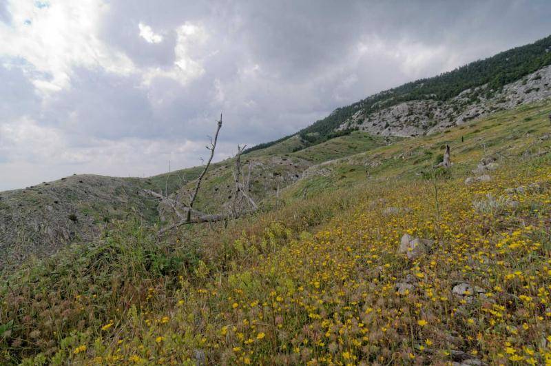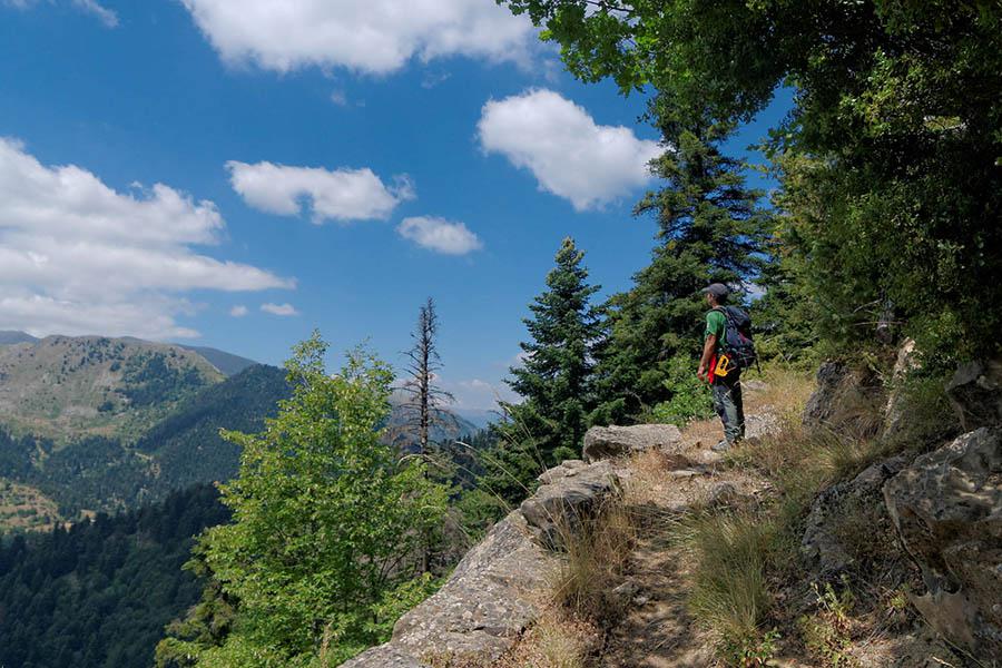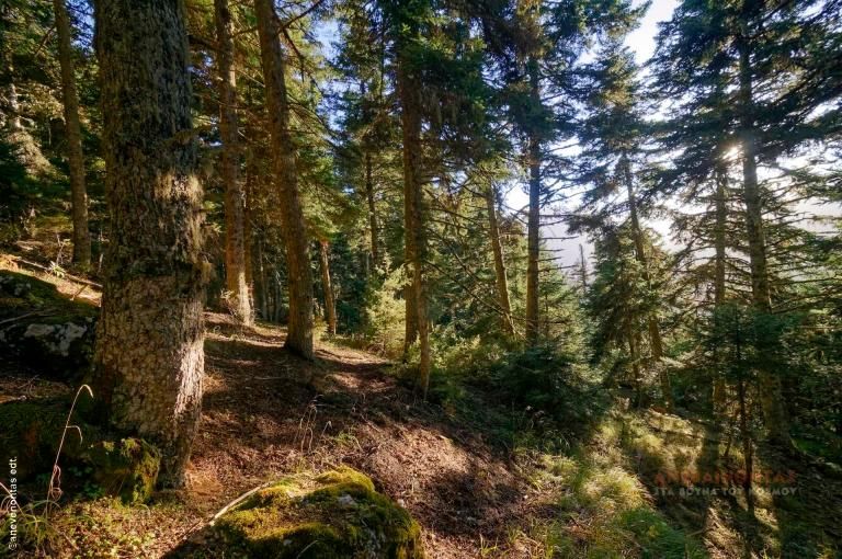


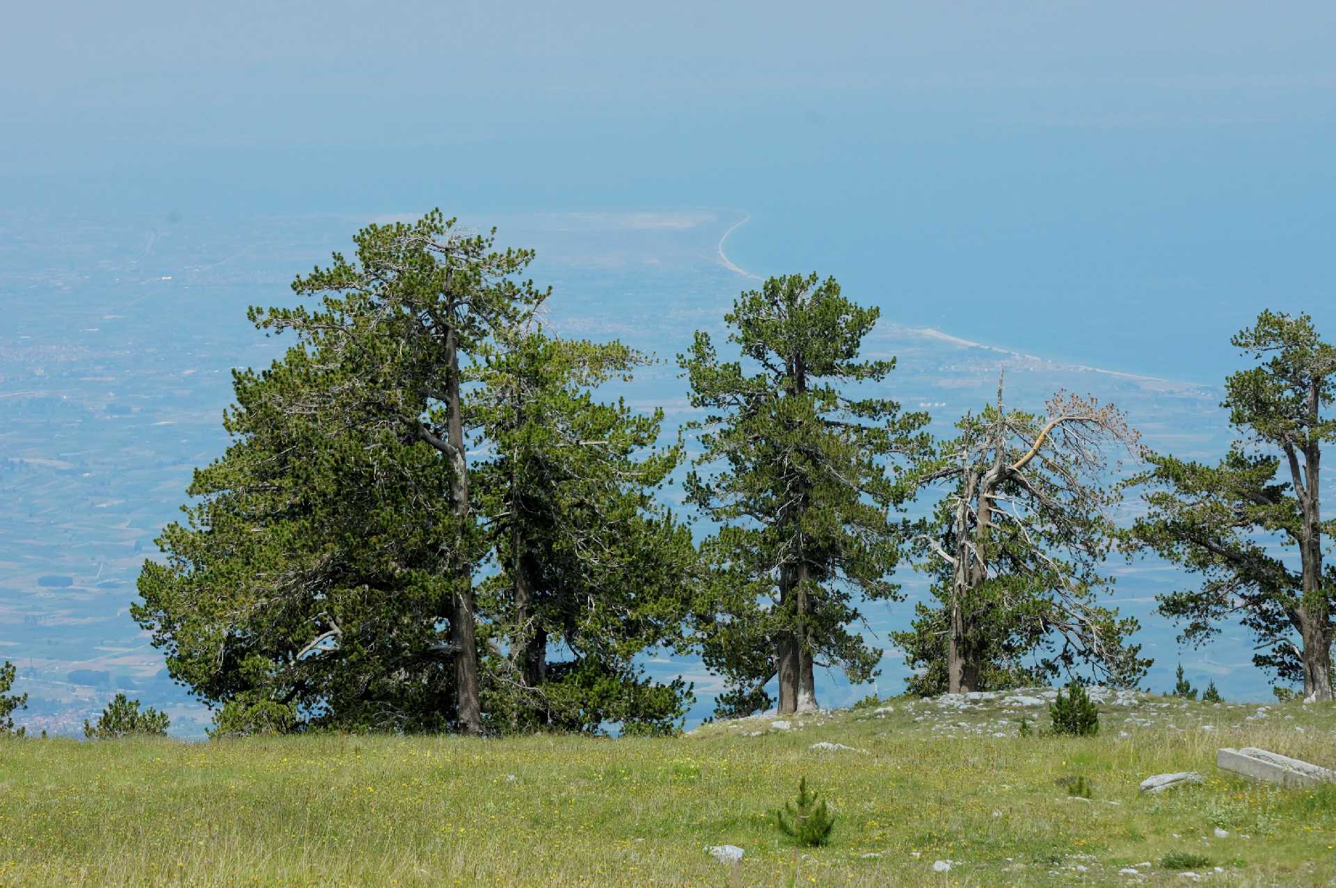
The route begins above Litochoro, at an altitude of 750 meters, giving you a 1,300-meter climb ahead. The trail is generally good and relatively smooth, and you’ll rarely encounter other hikers. From Livadaki, you’ll enjoy a stunning panorama of the Aegean Sea as well as the high peaks of Olympus. This route can be done as a standalone hike, or it can be part of a longer mountain crossing—for example, if you continue toward Prionia or toward Kalogeros and Bara.
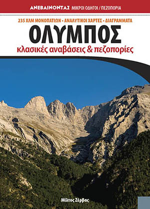
A full description can be found in the guidebook "Olympus – Classic Ascents and Hikes."
Geo
- Country: Greece
- Region: Central Macedonia
- Mountain:
Difficulties
- Terrain Difficulty: D2 - Moderate
- Overall Dificulty: L3- Difficult
Properties
- Distance : 8.8 km
- Maximum Altitude: 2100m.
- Minimum Altitude: 750m.
- Ascent: 1360m.
- Descent: 10m.
Info
- Duration: 3-4 hours
- Route type: One way
- Waymarking: Yes
- Potable water: No
- Recommended season: JFMAMJJASOND
- Shade: 5/5
- Suggestions: Nacional Park, Forests, Flora & fauna
- Refuge / Hut:
Map

Do you want to download the file? You need to log in.
Login/Register