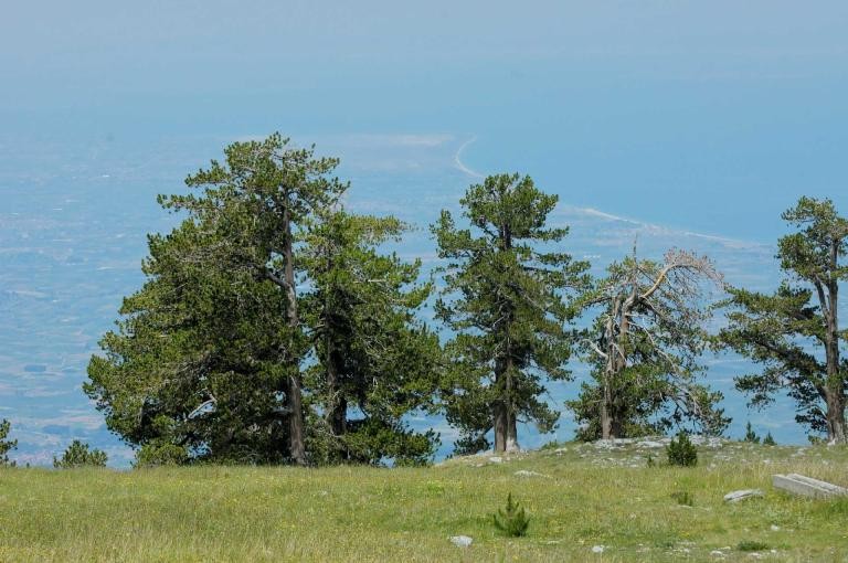


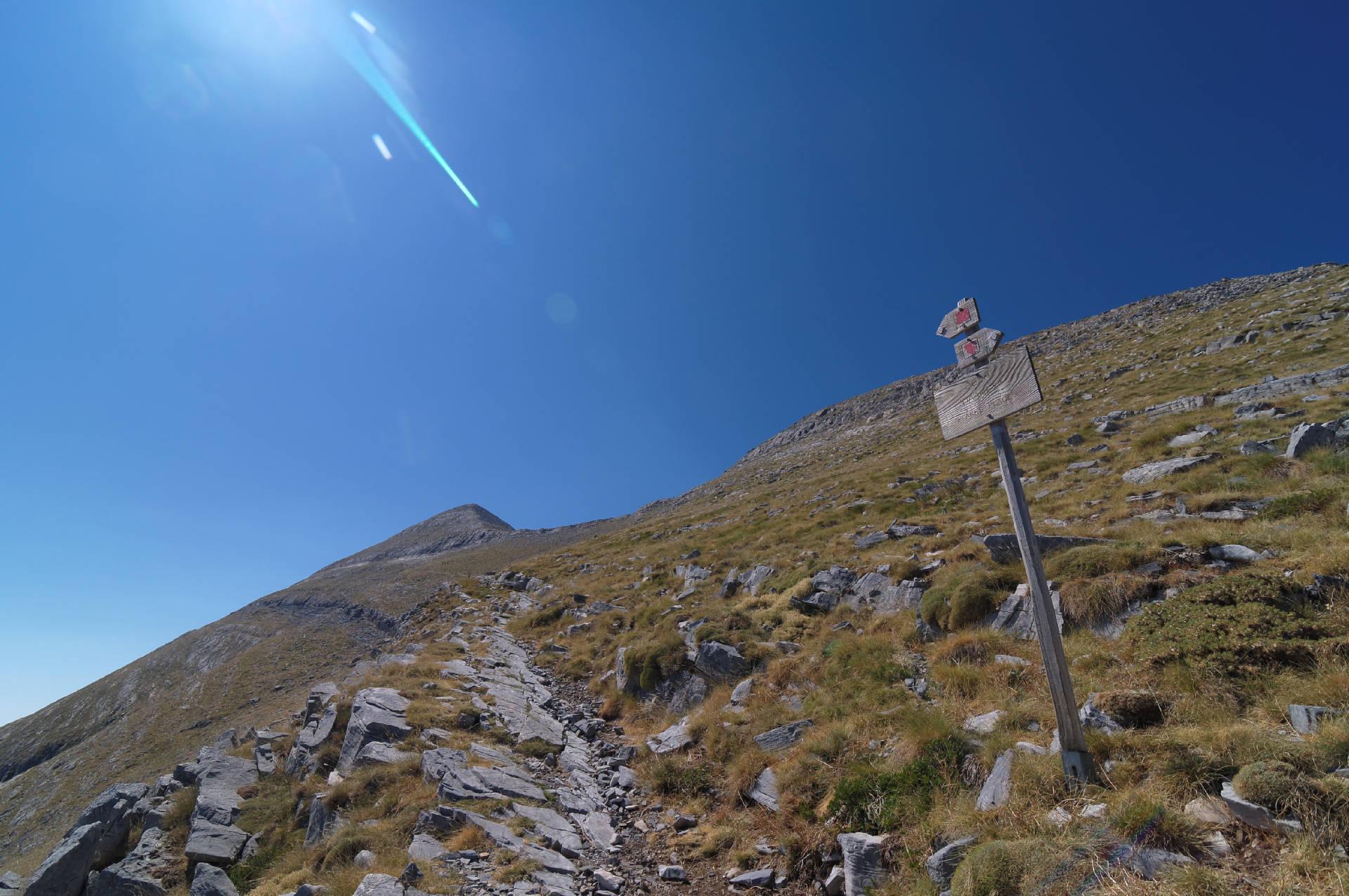
The route begins briefly within a sparse forest of black pine trees and then continues steadily through barren landscapes. The marking is excellent and will guide you to the ridge below the summit, which you approach from its right side (west). The summit offers an incredible view but is marred by makeshift constructions and temporary shelters used for the annual overnight stay held during Prophet Elias' feast.
Geo
- Country: Greece
- Region: Peloponnese
- Mountain:
Difficulties
- Terrain Difficulty: D2 - Moderate
- Overall Dificulty: L2- Moderate
Properties
- Distance : 3.6 km
- Maximum Altitude: 2407m.
- Minimum Altitude: 1559m.
- Ascent: 860m.
- Descent: 10m.
Info
- Duration: 2-3 hours
- Route type: Ascent
- Waymarking: Yes
- Potable water: No
- Recommended season: JFMAMJJASOND
- Shade: 1/5
- Refuge / Hut:
Map

Do you want to download the file? You need to log in.
Login/Register