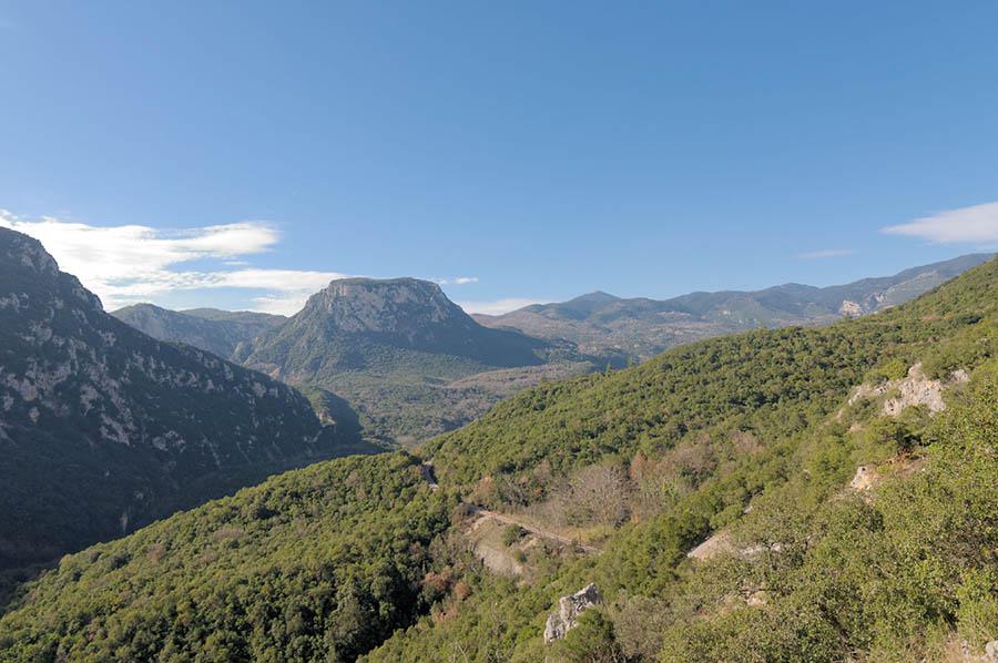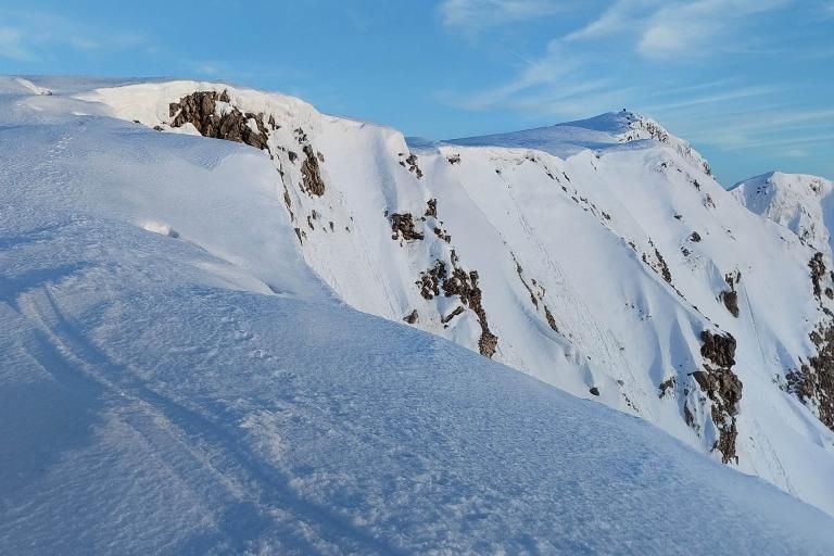


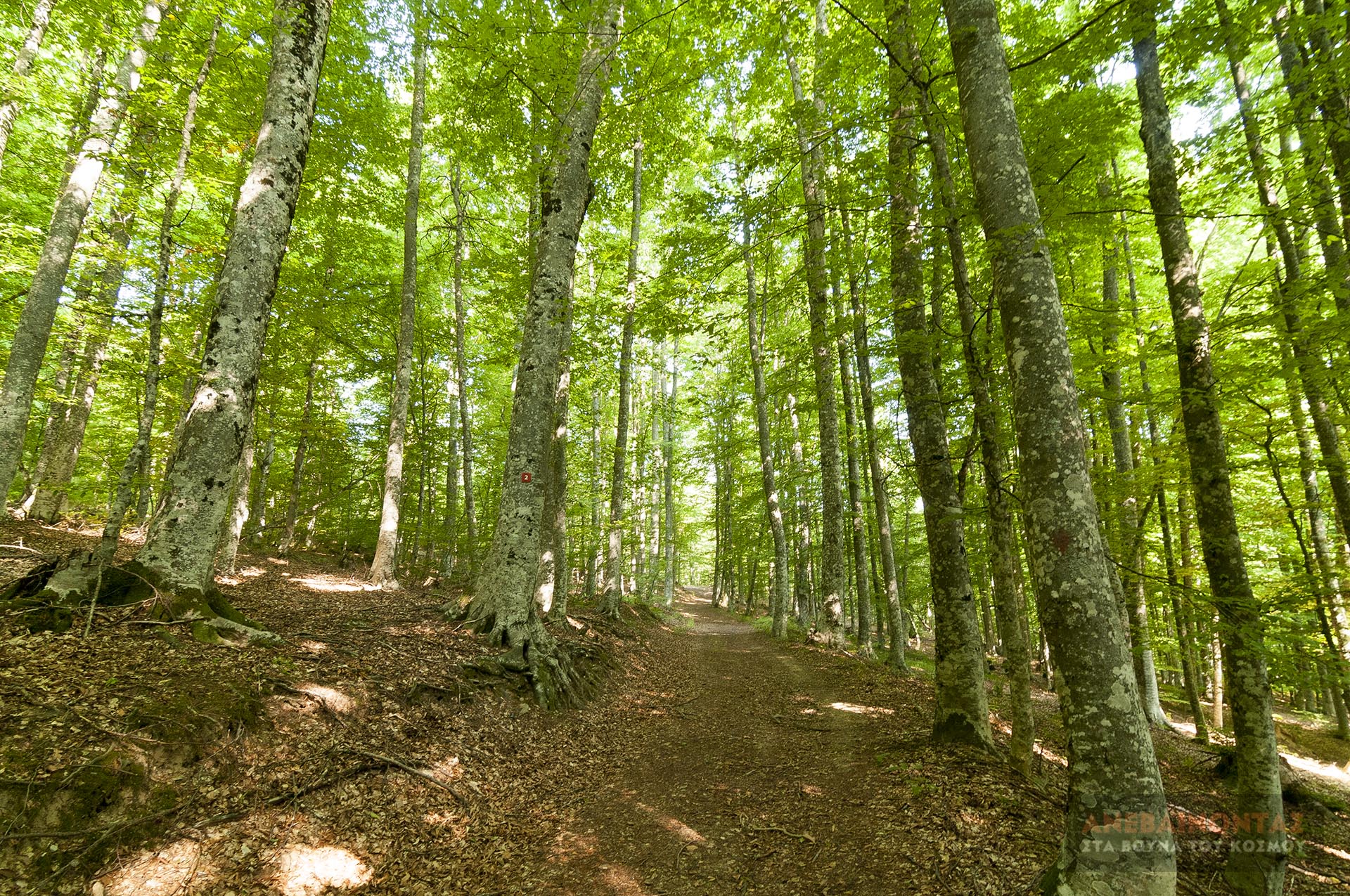
The route starts from the Katerini Alpine Club (EOS Katerini) refuge in Ano Milia and, following forest dirt roads and paths, leads to the peak of Pente Pyrgoi, with excellent views of Mount Olympus and Mount Titaros. From there, instead of returning the same way, we follow trails 2, 1, and 3 and, crossing beautiful forests, we arrive at the old water channel that used to carry water down to Ano Milia, bringing the route to a relaxed close.
The entire route is marked with the new signage of the Trail Registry (trails 2, 1, and 3 - number in a red square). The only downside is the heavy use of logging dirt roads, which in some sections are quite steep.
Geo
- Country: Greece
- Region: Central Macedonia
- Mountain:
Difficulties
- Distance Rating: L3 – Difficult (≤20 km)
- Ascent Rating: L2 – Moderate (≤1,000 m)
- Terrain Difficulty: D2 - Moderate
- Overall Dificulty: L3- Difficult
Properties
- Distance : 12.7 km
- Maximum Altitude: 1705m.
- Minimum Altitude: 1025m.
- Ascent: 680m.
- Descent: 680m.
Info
- Duration: 4-5 hours
- Route type: Loop
- Waymarking: Yes
- Waymarks:


- Potable water: Yes
- Recommended season: JFMAMJJASOND
- Shade: 5/5
- Suggestions: Forests, Autumn colors
- Refuge / Hut:
Map

Do you want to download the file? You need to log in.
Login/Register