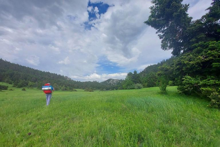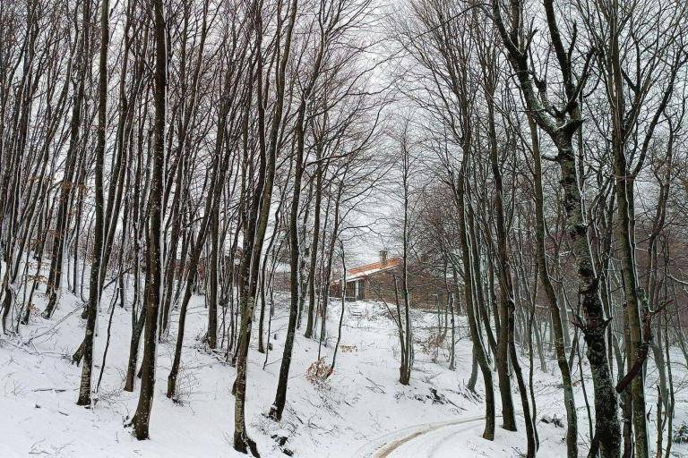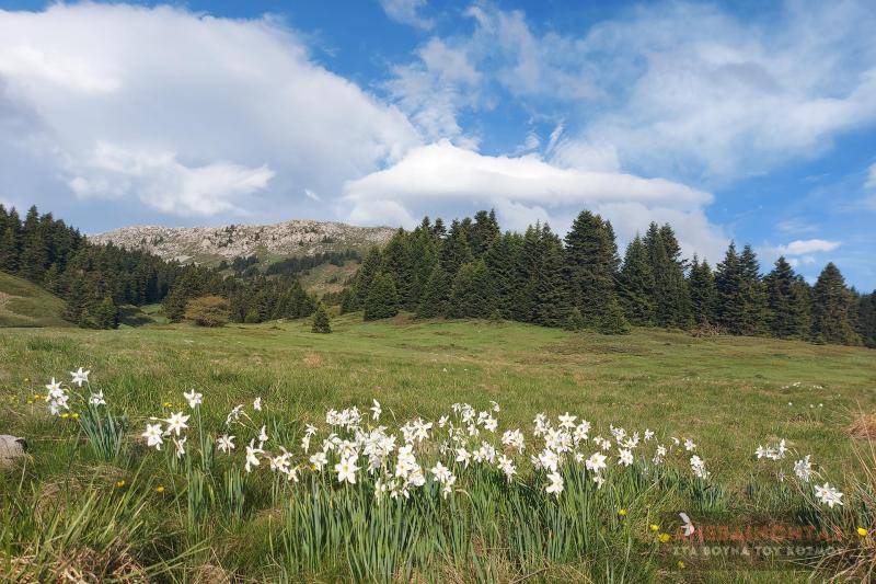


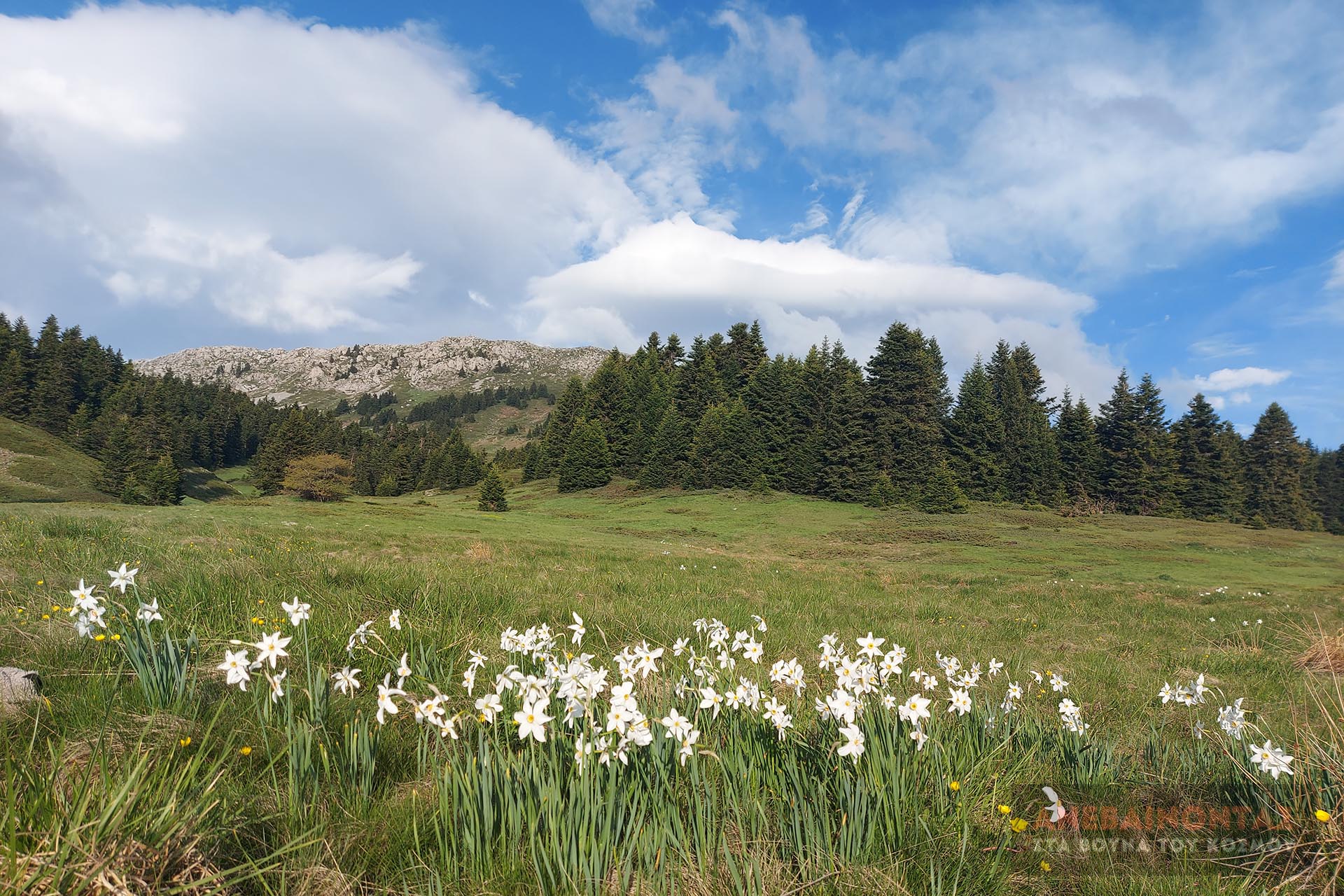
The route starts from the abandoned refuge of the Lamia Alpine Club (EOS Lamia), at the location Trapeza (the spring is marked on the map), and leads easily to Livadies. From there (opposite the Kalogeros Spring), the path begins, crossing a dead-end road and climbing -quite steeply- up to Grevenos. Excellent views of the rest of Mount Oiti, as well as the surrounding area.
Geo
- Country: Greece
- Region: Central Greece
- Mountain:
Difficulties
- Distance Rating: L1 – Easy (≤5 km)
- Ascent Rating: L2 – Moderate (≤1,000 m)
- Terrain Difficulty: D2 - Moderate
- Overall Dificulty: L2- Moderate
Properties
- Distance : 2.9 km
- Maximum Altitude: 2114m.
- Minimum Altitude: 1780m.
- Ascent: 325m.
- Descent: 10m.
Info
- Duration: 1-2 hours
- Route type: Ascent
- Waymarking: Yes
- Waymarks:

- Potable water: Yes
- Shade: 1/5
- Suggestions: Nacional Park, Lakes / Streams / Waterfalls, Flora & fauna, Spring, View
- Refuge / Hut:
Map

Do you want to download the file? You need to log in.
Login/Register