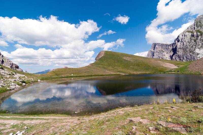


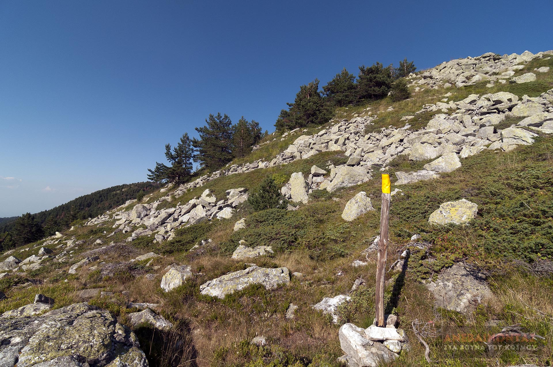
The trail starts from Sarakatsana and the refuge of the Katerini Alpine Club (SEO Katerini), and, following a forest road for most of its length, climbs up to the ridge at the location Kourasma. From there, a narrow but clear and fairly well-marked path, winding slightly right and left along the gentle ridge, leads us easily and with almost no ups and downs to Bara and the refuge of the Kozani Alpine Club (SEO Kozani). There are excellent views of the Aliakmonas River on one side and Mount Olympus on the other. This route will soon have new markings (trails 5 and 6), as it has been included in the Trail Registry.
Geo
- Country: Greece
- Region: Central Macedonia
- Mountain:
Difficulties
- Distance Rating: L2 – Moderate (≤10 km)
- Ascent Rating: L2 – Moderate (≤1,000 m)
- Terrain Difficulty: D2 - Moderate
- Overall Dificulty: L2- Moderate
Properties
- Distance : 7.2 km
- Maximum Altitude: 1966m.
- Minimum Altitude: 1682m.
- Ascent: 305m.
- Descent: 50m.
Info
- Duration: 2-3 hours
- Route type: One way
- Waymarking: Incomplete / Partial / Damaged
- Waymarks:

- Potable water: No
- Recommended season: JFMAMJJASOND
- Shade: 2/5
- Suggestions: View
- Refuge / Hut:
Map

Do you want to download the file? You need to log in.
Login/Register