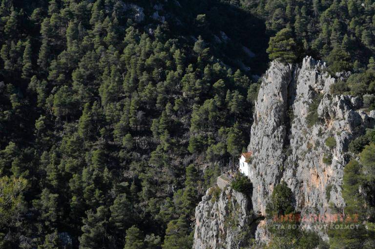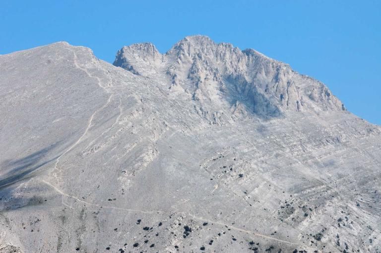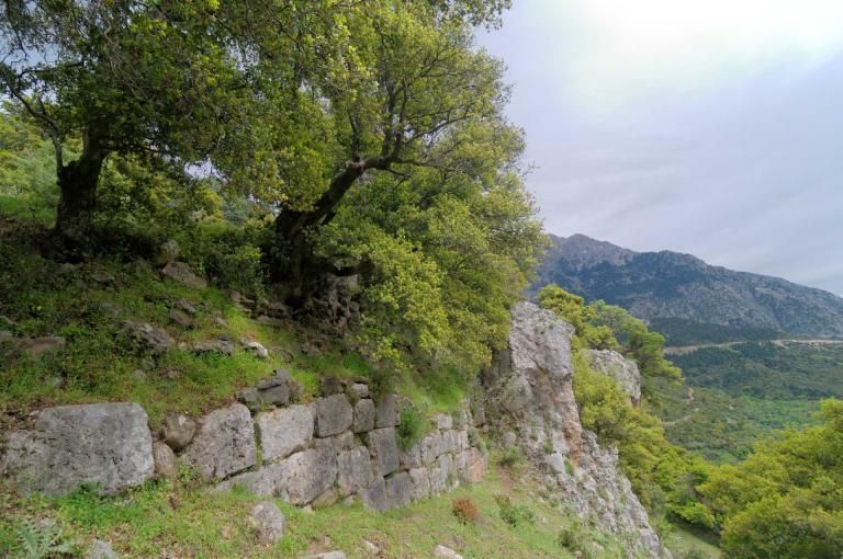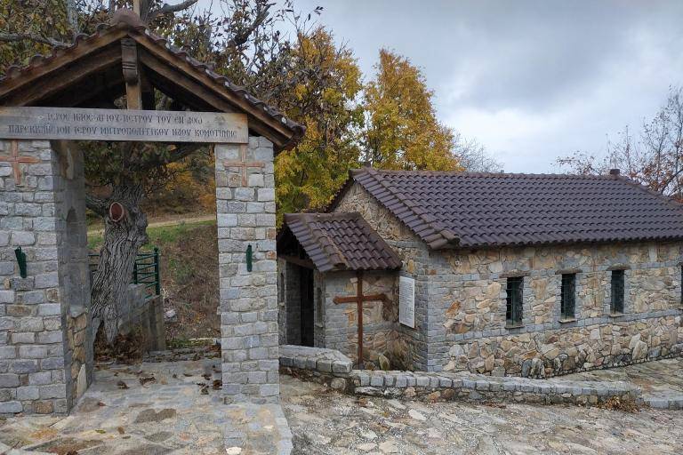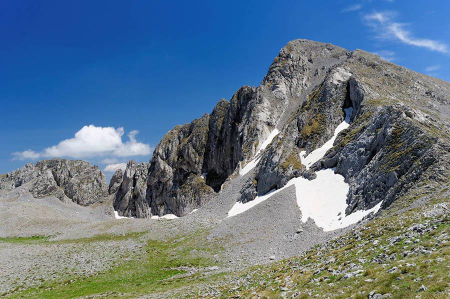


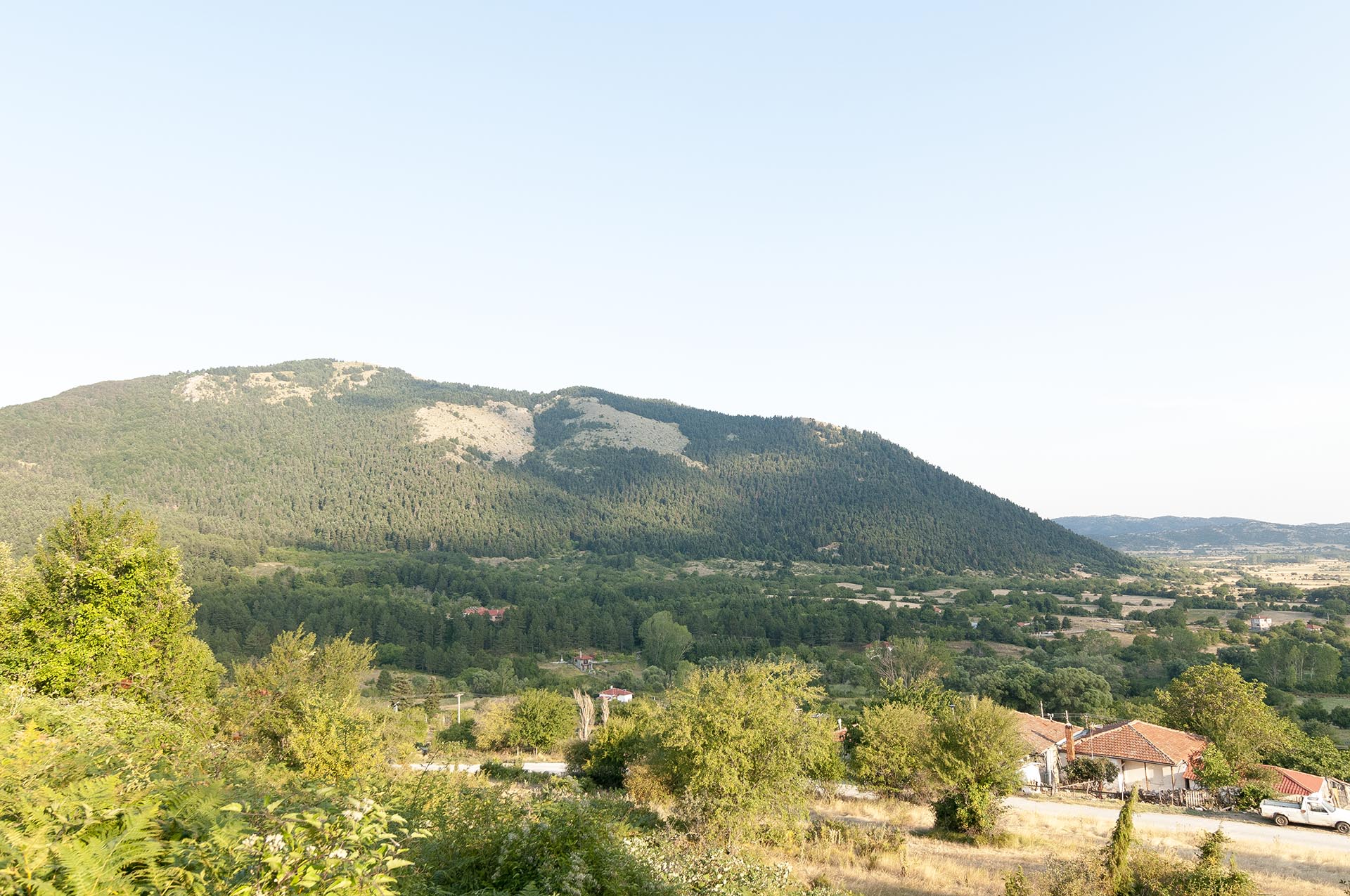
The trail starts from the Patomeni spring and its well-maintained recreation area. The path is very well marked, and you simply need to pay attention at the junctions. On the way back, instead of retracing your steps, you can follow a forest road and then a path that leads you back to Patomeni. Almost the entire route runs through a forest of black pine and beech, making it ideal year-round and suitable for beginners or even families.
Geo
- Country: Greece
- Region: Thessaly
- Mountain:
Difficulties
- Distance Rating: L2 – Moderate (≤10 km)
- Ascent Rating: L2 – Moderate (≤1,000 m)
- Terrain Difficulty: D2 - Moderate
- Overall Dificulty: L2- Moderate
Properties
- Distance : 8.3 km
- Maximum Altitude: 1585m.
- Minimum Altitude: 1085m.
- Ascent: 495m.
- Descent: 495m.
Info
- Duration: 2-3 hours
- Route type: Loop
- Waymarking: Yes
- Waymarks:

- Potable water: No
- Families & children: Yes
- Recommended season: JFMAMJJASOND
- Shade: 5/5
- Suggestions: Forests, Autumn colors
Map

Do you want to download the file? You need to log in.
Login/Register